![]()
NASA: Welche Flurformen? USA
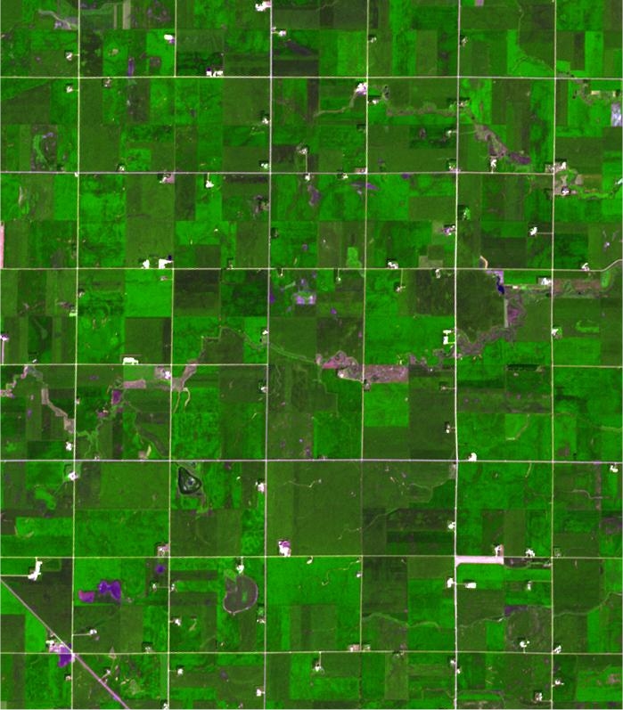
In Minnesota the very regular grid pattern reflects early 19th century surveying; the size of the fields is a function of mechanization and that dictates a certain efficiency.
Each ASTER sub-image covers an area of 10.5 x 12 km.
NASA/GSFC/METI/ERSDAC/JAROS,
and U.S./Japan
ASTER Science Team
![]()