|
|
 |
 |
 |
The high precision of the last digital elevation model is a consequence of innovative SAR (Synthetic Aperture Radar) interferometric technology. The phase difference in the reflected radar signal that arises by recording a point on earth from two different viewing angles allows a direct and exceptionally precise derivation of elevation. DFD is actively engaged in the development of methodology and an operational data processing chain for creating high-resolution digital elevation models based on SAR interferometry.
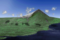
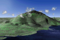
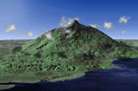
Information about the constituent models (ETOPO5 10 km, GLOBE 1 km and SAR interferometric 100 m) used above and about the animation may be obtained by contacting Mr. Robert Meisner by E-mail in Oberpfaffenhofen at Robert.Meisner@dlr.de
Higher resolution images:
![]()